A circular walk from Haworth via Lower Laithe Reservoir, and the Bronte Waterfall featuring long distance views.
Moderate walk. There is a steep decent to Bronte Waterfall which can be difficult in poor weather
If setting off in Winter at noon you will be back in Haworth before the light starts to fade quickly (around 4.15) if you are of moderate fitness and dont need to stop for breaks.
Check out the predicted weather for the day so you have suitable outer wear and as the walk involves difficulty, do not attempt in poor conditions
Wear boots that cope well in mud and shallow water.
The walk starts at the Top of Main Street in Haworth.

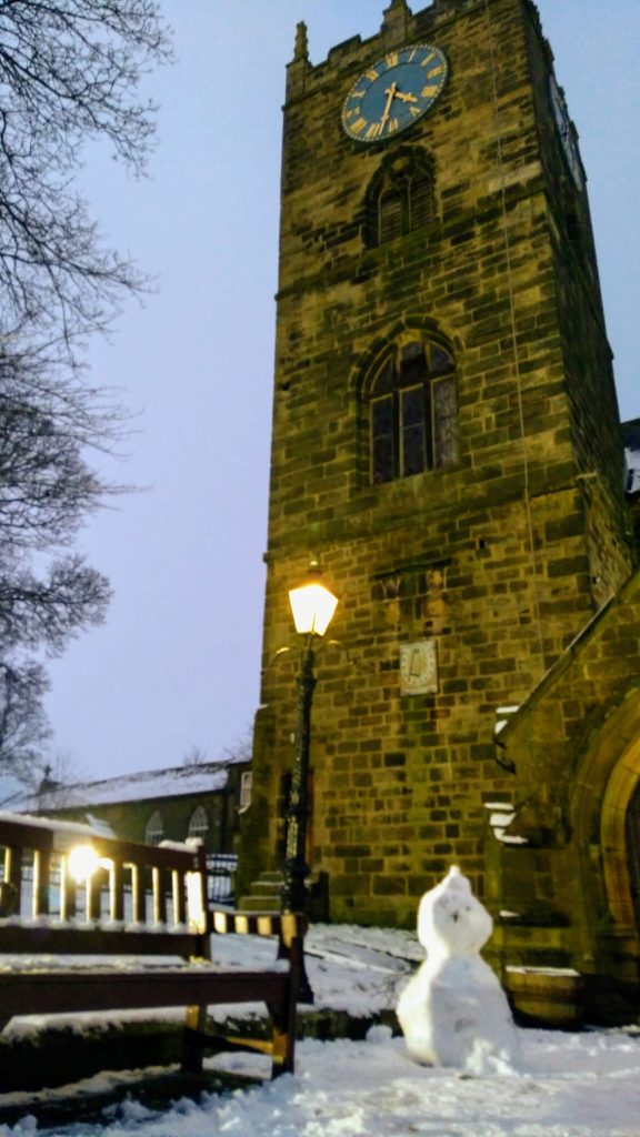
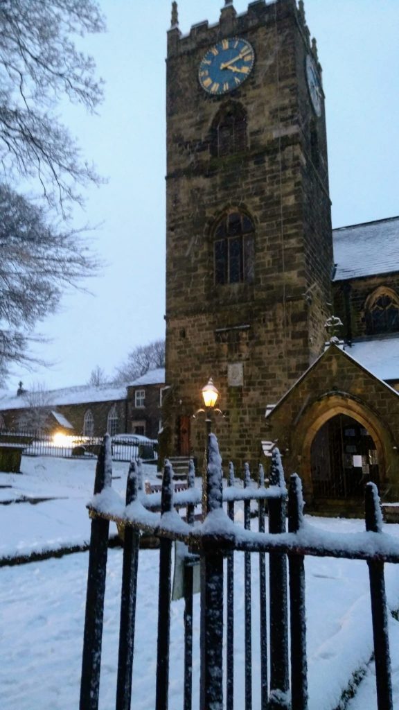
Walk up the steps to St Michael and All Angels’ Church and walk straight on along the side of the church onto Church Street or loop round the church, turning left at the top of the steps and then round to the main entrance to see the graveyard and then:
Turn left onto Church Street and pass The Bronte Parsonage Museum.
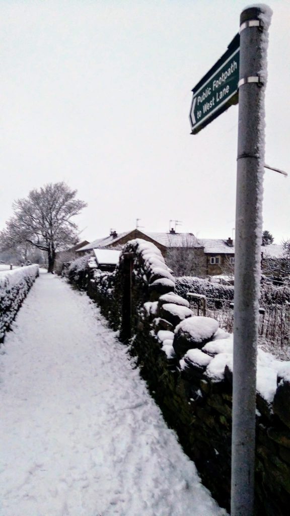
Continue onto the public footpath to West Lane which crosses a field
Exit onto Cemetery Road and continue uphill taking the first road left signposted as a walking route to Stanbury and parking for Penistone Hill (ignoring the main road to Stanbury also at this junction)

A few minutes up the road, past the Dimples Lane turning on your left take the bridleway path off right to Reservoir Road (at the bottom wall to Haworth Cemetery) passing Slade Valley Treatment Plant.


At the end of the path turn right onto Reservoir Road to go over Lower Laithe Reservoir


At the end of the road turn left to enter Stanbury village (following the road direction to Colne)
Walk through the village to take a public footpath on your right (just before Wuthering Heights pub).This takes you round the back of the pub (and off the road) bringing you out onto Main Street where you turn right passing Stanbury Village School
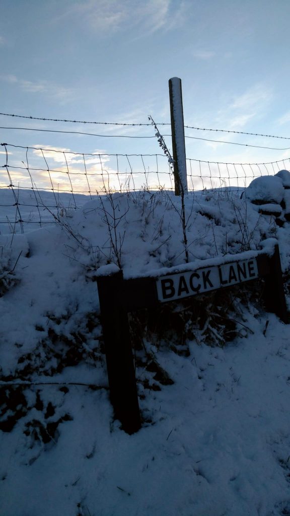
At Back Lane, turn left on the public footpath to Bronte Waterfall
At the no through road sign continue straight ahead (ignoring Buckley Green and Ponden Kirk road to your right)
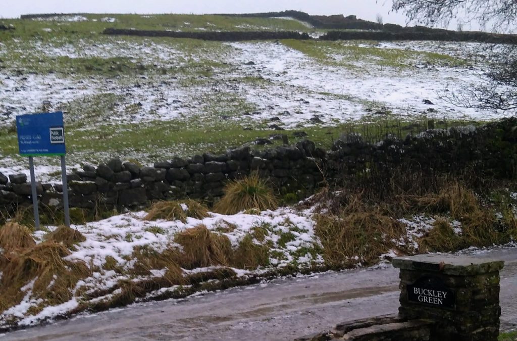
Continue onto the private road and just over a cattle grid take the left path (where it divides to go straight onto Top Withens)
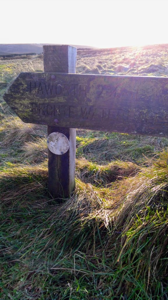
Take this path to go through the swing gate. Here it looks as if the path disappears however turn sharp right to follow the wall (past a stile to your right) and then diagonally ahead to a kissing gate
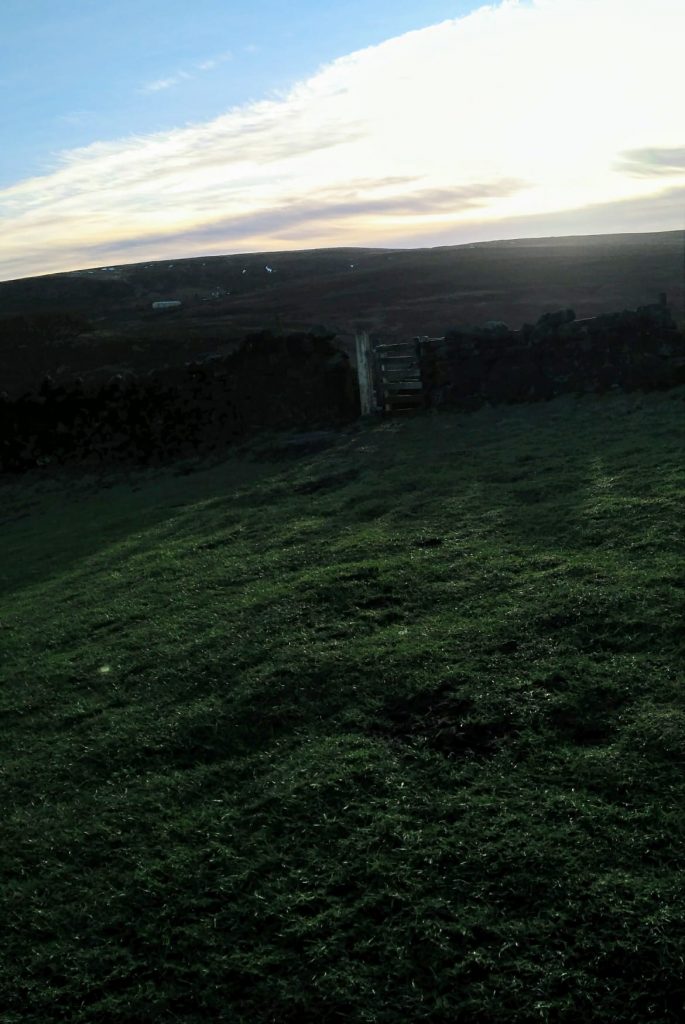
Continue straight ahead through rocky terrain and get the first glimpse of the waterfall
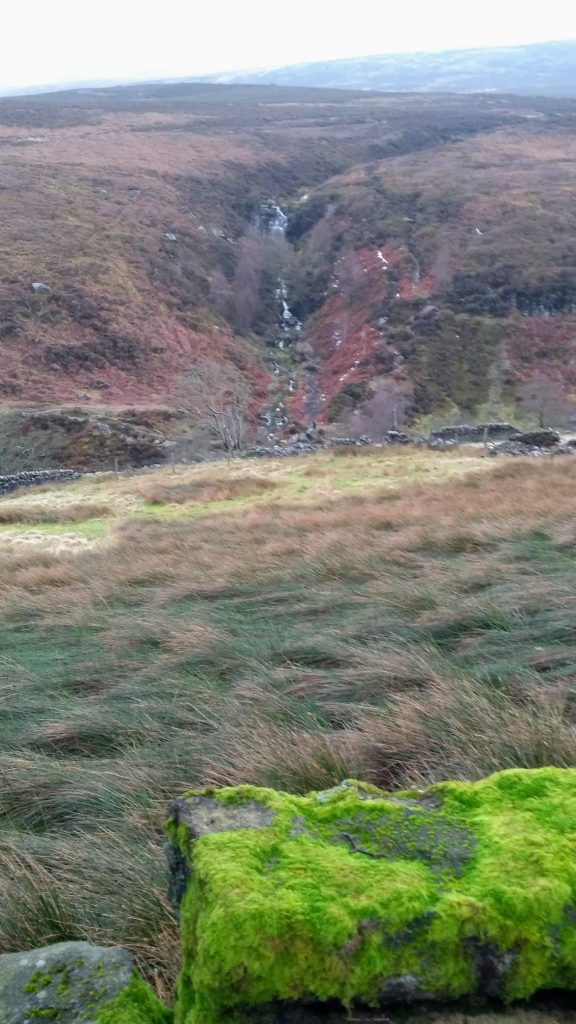
Go straight ahead descending to your left onto stone pavement
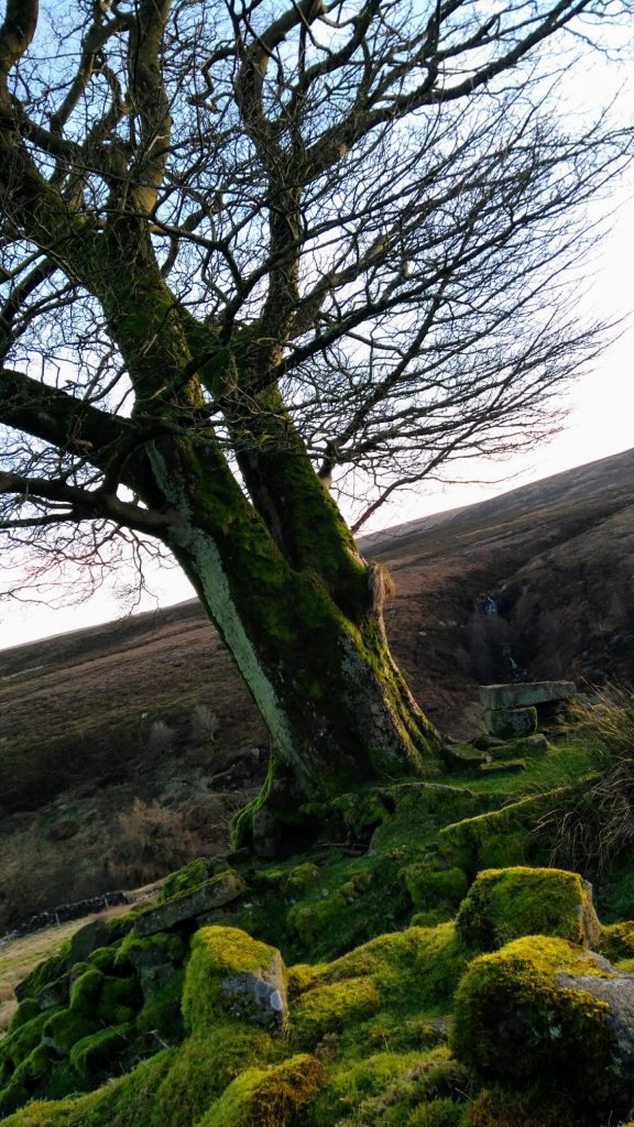
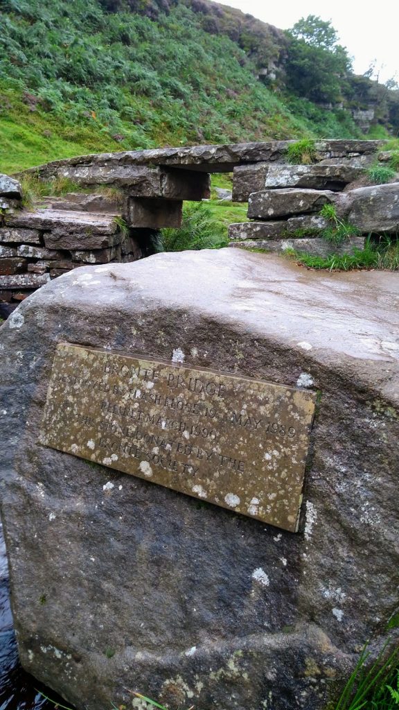
Cross over the bridge and now follow the well defined path left
At the end of the path (around 40 minutes later) go over a cattle grid and now there there are two options:
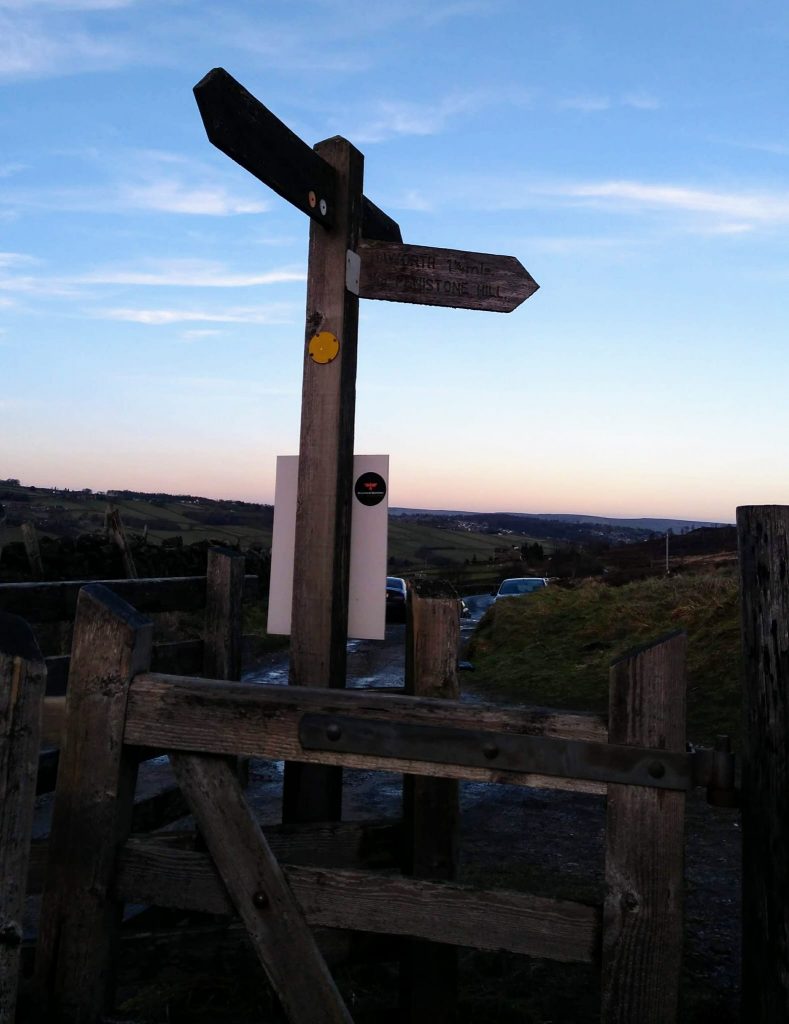
Turn left onto the road to continue down to the reservoir and then back on the bridleway, re-tracing your steps back into Haworth or:
Turn right to go back to Haworth via Penistone Hill
The Penistone Hill walk continues uphill a short way then turns left. Ignore the sign to Oxenhope which is a right fork here
Continue on this well defined path which goes past marker 6 of the Millennium Way
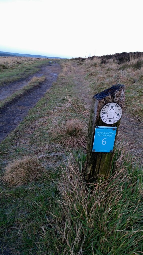
At the exit of Penistone Country Park cross over the road and continue down Balcony Lane footpath
At the end of this path turn left back to the church
